An innovative dataset and method to map changes in built-up areas
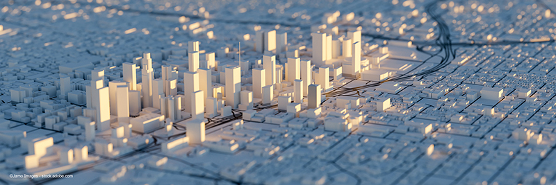
The Joint Research Centre (JRC) released a new dataset - the European Settlement Map ESM_2018. Its new methodology enhances the description of human settlements at a spatial resolution of 2 meters for EEA-39 countries. This innovative dataset greatly improves the capacity to map and monitor buildings and changes in built-up areas across Europe.
This 2018 settlements map combines remote sensing technology and artificial intelligence to deliver the most detailed geospatial data on built-up areas consistent across Europe. It monitors changes in built-up areas in the period 2012-2018, by identifying newly constructed residential and non-residential buildings.
Cloud cover and shadows are no longer a challenge under this fully automated image classification method that was validated using detailed building footprints for 14 areas of interest. The 2018 model outperformed existing built-up products both in terms of delineation of built-up areas and in detecting changes.
This is a powerful data for urban planners, policymakers, and researchers and for applications requiring precise and fine representation of built-up areas and their typologies. These developments can support evidence-based decision-making around the fields of population dynamics, migration, risk management and sustainable urbanization.